Error message
Notice: Trying to access array offset on value of type null in IslandoraSolrDisplayManagerResults->currentQueryDisplays() (line 222 of /var/www/drupal7/sites/all/modules/islandora_solr_display_manager/includes/islandora_solr_display_manager.inc).
-
-
Title
-
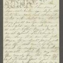
From Sara Robinson to "My Dear Martha"
-
Description
-
This letter, dated October 19, 1862, is from Sara Robinson in Topeka, Kansas to Martha. Sara reports that her husband, Kansas Gov. Charles Robinson, went to Altoona, Pennsylvania to meet "the Governors," but by the time he arrived they had already gone to Washington, D.C. Charles "had no wish to see the Sec. of War or the President, both of whom have treated him & the young state of Kansas so villainously & did not follow them." Sara states that when Charles returned, he went to St. Louis to see Gen. Curtis.
-
Object Type
-
Letter
-
Date
-
October 19, 1862
-
-
Title
-
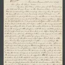
From Abelard Guthrie to James Henry Lane
-
Description
-
This letter, dated November 21, 1864, is from Abelard Guthrie in Quindaro, Kansas to James Henry Lane. Guthrie reports on the proceedings of a Supreme Court case to determine if Kansas has the right to tax land assigned to the Shawnee Indians. Guthrie argues that if the court exempts these areas from taxation, it will deprive "the counties of Douglass, Johnson, and Wyandot of about sixty thousand dollars of taxes which they sorely need."
-
Date
-
November 21, 1864
-

-
Title
-
Sectional Map of Kansas Territory
-
Description
-
This color map, dated April 1857, is entitled "Sectional Map of Kansas Territory." It was drafted by C.P. Wiggin and signed by L.A. MacLean, Chief Clerk of the Surveyor General’s office in Lecompton, Kansas Territory. MacLean certifies that the map was compiled from U.S. survey field notes. The map was published by MacLean and Lawrence and printed by William Schuchman and Bro. in Philadelphia.
-
Object Type
-
Map
-
Date
-
April 1857
-

-
Title
-
New Sectional Map of Kansas
-
Description
-
This color map, drafted in 1859 by Robert L. Ream, was published by Stevenson and Morris of St. Louis, and printed by A. Janicke and Co. of St. Louis. The map is entitled “New Sectional Map of Kansas,” and was compiled from the field notes in the Surveyor General’s office.
-
Object Type
-
Map
-
Date
-
1859

