Error message
Notice: Trying to access array offset on value of type null in IslandoraSolrDisplayManagerResults->currentQueryDisplays() (line 222 of /var/www/drupal7/sites/all/modules/islandora_solr_display_manager/includes/islandora_solr_display_manager.inc).
-
-
Title
-
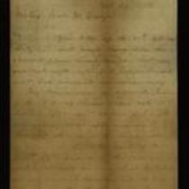
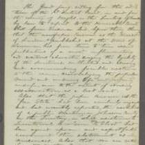
From S.G. Cato to John W. Geary
-
Description
-
This letter, dated October 29, 1856, is from Judge S.G. Cato in Shawnee County, Kansas to Gov. John W. Geary. Cato reports on the judicial proceedings he has presided over as Associate Justice of the Kansas Supreme Court. He lists the number of bills of indictment returned by grand juries in Anderson, Allen, Lykins, Bourbon, Franklin, and Shawnee counties, and reports that three criminal trials have been held in Bourbon County.
-
Date
-
October 29, 1856
-
-
Title
-
Findings of the Grand Jury in Relation to the Herald of Freedom, Kansas Free State, and Free State Hotel
-
Description
-
This document describes the findings of the Grand Jury, 1st District Court, Douglas County, Kansas, regarding the Herald of Freedom and Kansas Free State newspapers, and the Free State Hotel in Lawrence, Kansas. Concluding that the two newspapers are guilty of publishing “inflammatory and seditious” reports, and that the Free State Hotel is clearly intended to be a military stronghold, the Grand Jury recommends the newspapers’ “abatement,” and the hotel’s removal. The document, ca. 1854-1860, is signed by Owen C. Stewart, Grand Jury foreman.
-
Object Type
-
Legal Document
-
-
Title
-
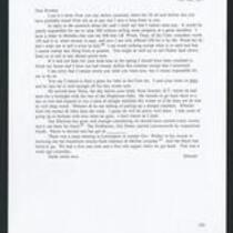
From Edward Fitch to Dear Brother
-
Description
-
Edward Fitch writes a letter to his brother from Lawrence, Kansas, on November 8, 1857. He says he is happy about the results of the recent election in Kansas Territory, despite the Pro-Slavery ticket having won in Leavenworth “by stupendous frauds.” He mentions attending a meeting in Lecompton to support Governor Robert Walker’s attempt to throw out fraudulent votes from Johnson and McGee counties.
-
Object Type
-
Letter
-
Date
-
November 8, 1857
-
-
Title
-
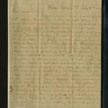
From Louis A. Myers to Luther M. Myers
-
Description
-
This letter, dated July 18, 1858, was written by Louis A. Myers in Philippi, Virginia to Luther M. Myers in Johnson County, Kansas. Louis expresses his agreement with Luther on the topic of the Missouri Compromise. Louis says he will write again when he returns to Weston, Missouri.
-
Date
-
July 18, 1858
-
-
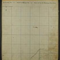
Title
-
Maps of Shawnee Indian Reservation
-
Description
-
These 21 plat maps were made ca. 1857 by Isaac Cooper Stuck. The maps are marked with geographical features and locations of people’s land claims within the Shawnee Indian Reservation in eastern Kansas.
-
Object Type
-
Map
-

-
Title
-
Sectional Map of Kansas Territory
-
Description
-
This color map, dated April 1857, is entitled "Sectional Map of Kansas Territory." It was drafted by C.P. Wiggin and signed by L.A. MacLean, Chief Clerk of the Surveyor General’s office in Lecompton, Kansas Territory. MacLean certifies that the map was compiled from U.S. survey field notes. The map was published by MacLean and Lawrence and printed by William Schuchman and Bro. in Philadelphia.
-
Object Type
-
Map
-
Date
-
April 1857
-

-
Title
-
New Sectional Map of Kansas
-
Description
-
This color map, drafted in 1859 by Robert L. Ream, was published by Stevenson and Morris of St. Louis, and printed by A. Janicke and Co. of St. Louis. The map is entitled “New Sectional Map of Kansas,” and was compiled from the field notes in the Surveyor General’s office.
-
Object Type
-
Map
-
Date
-
1859
-

-
Title
-
Sectional Map of the Territory of Kansas
-
Description
-
This color map, entitled “Sectional Map of the Territory of Kansas,” was compiled from the field notes in the Surveyor General’s office. It was published in 1857 by John Halsall in St. Louis.
-
Object Type
-
Map
-
Date
-
1857
-

-
Title
-
Kansas and Nebraska 1856
-
Description
-
This color map, entitled “Kansas and Nebraska 1856,” was printed by J.G. Wells in New York.
-
Object Type
-
Map
-
Date
-
1856
-

-
Title
-
Map Showing the Progress of the Public Surveys in the Territories of Kansas and Nebraska
-
Description
-
This black-and-white map, signed by Ward B. Burnett, Surveyor General, was issued by the Surveyor General’s office in Nebraska City, Nebraska Territory on October 1, 1859. The map shows the progress of the public surveys in the territories of Kansas and Nebraska, and was produced to accompany the Surveyor General’s 1859 annual report.
-
Object Type
-
Map
-
Date
-
October 1, 1859
